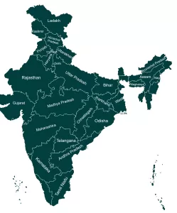
India Is Located in south part of Asia. India’s geography is incredibly diverse from mountains to plains, plateaus, and coastal regions. In south India is Surrounded by Indian Ocean, In North India is covered by the mighty Himalayas. In western parts there is Thar desert and eastern part is covered with green forest.
Area Ranking
7th
Size
- 3,214 km from north to south
- 2,933 km from east to west
Largest Lakes
- Loktak Lake – Freshwater
- Chilka Lake – Saltwater
Highest Peak
Kangchenjunga
(8,586meters)
Indian Standard Time(IST)
+5:30 GMT
Lowest Point
Kuttanad(-2.2M)
Telephone Code
+91
Longest River
Ganges
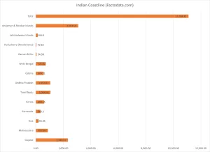
Longest Coastline in India: State-wise List updated(2025)
Longest Coastline in India: Updated State-Wise Data After 2023 Revision Gujarat has the longest coastline …
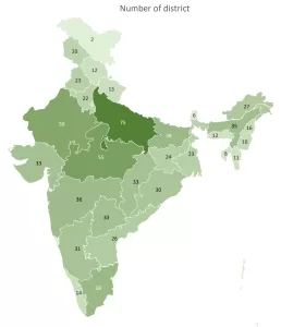
Total district In India: state wise full list
Total district In India: state wise full list As of 2025, There are 788 total …
Largest state in India by size: Full List
Largest state in India by size: Full List India is home to 28 states and …
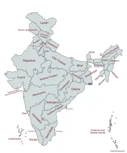
States of India and their Capitals
States & UTs of India and their Capitals India has 28 states and 8 Union …
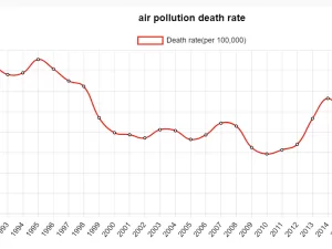
Air pollution Death rate in India: 1990-2021
Air Pollution Death Rate in India: 1990-2021 Air pollution death in India has been silent …
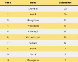
Top 10 cities with Most Billionaires in India
Top 10 cities in India with Most Billionaires: 2024 India has been producing number of …
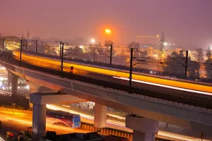
Indian Cities with Metro network
List of Indian Cities with Metro network There are 17 Indian cities metro train system …

